EFTAS Fernerkundung Technologietransfer GmbH
EFTAS.GeoIT
Precisely for your world

Quality &
Individuality
from Münster
since 1988

Geoinformation and IT-services
Uniquely valuable.

News

Int. Conference: Monitoring Biodiversity in European Agricultural Landscapes

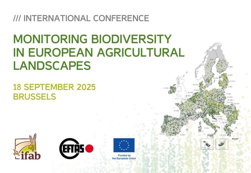
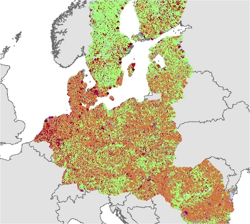
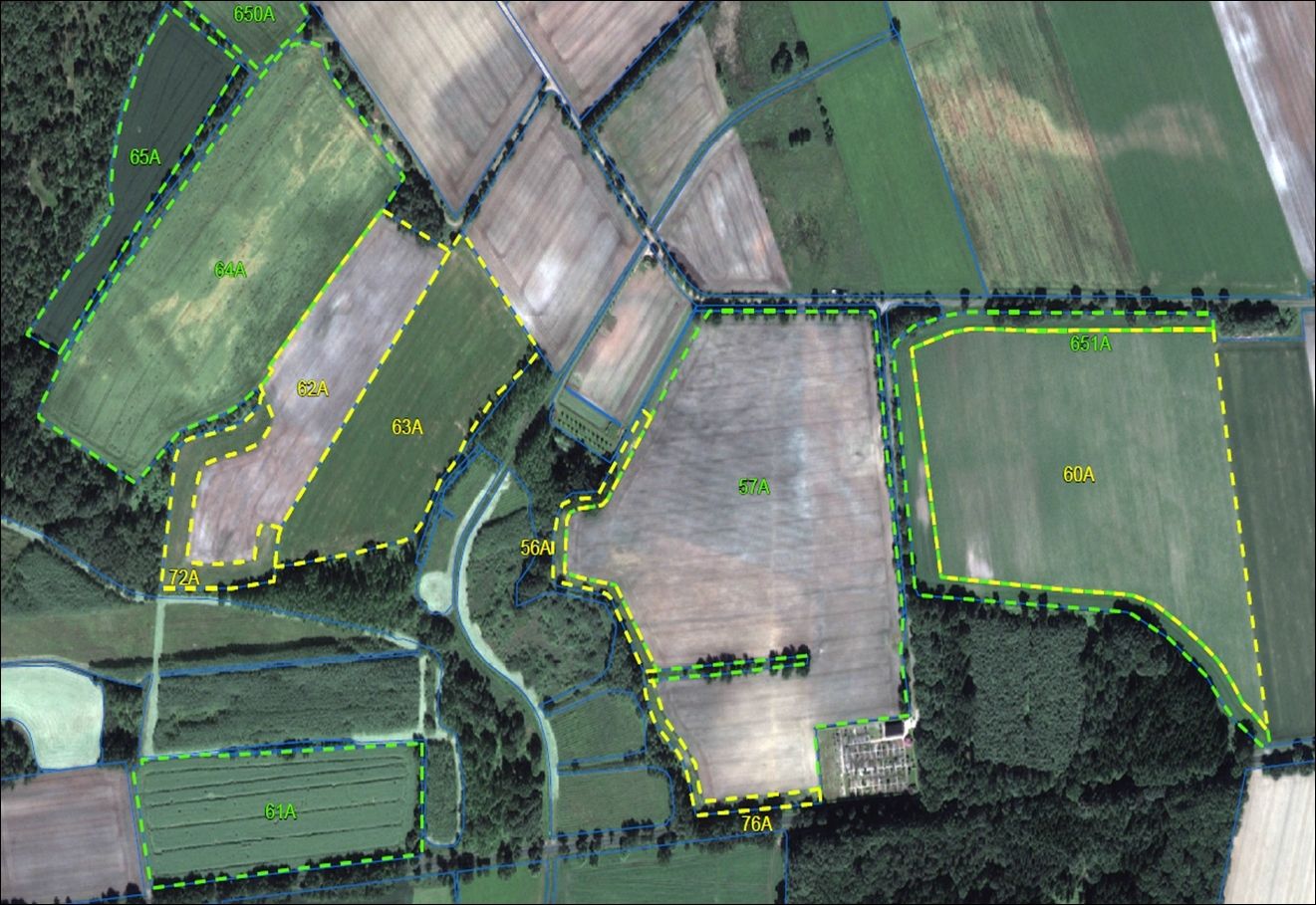
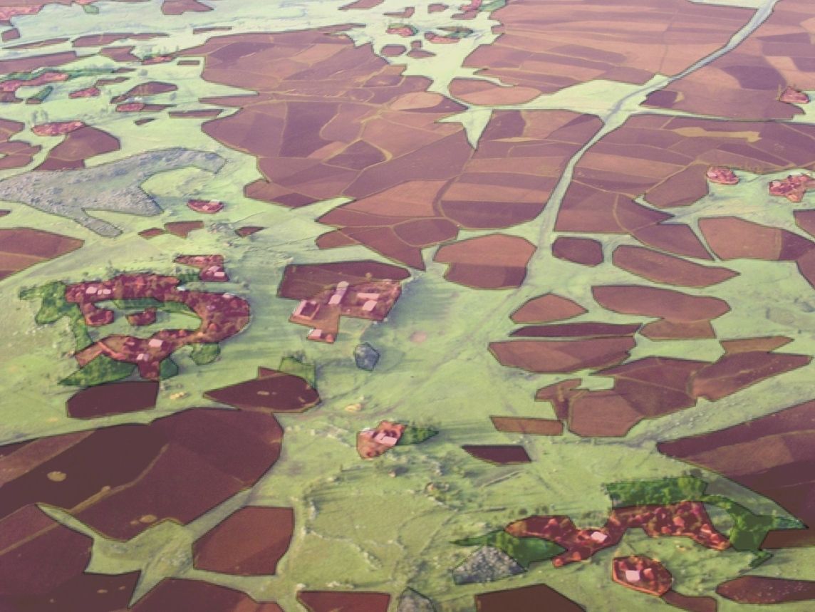
[18.09.2025] Int. Conference: Monitoring Biodiversity in European Agricultural Landscapes

Results of the ‘EMBAL’ and ‘LUCAS Grassland’ Surveys“ … [read more]

eftas-certificate-en

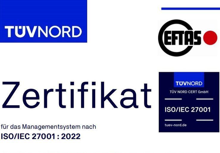
[17.09.2025] EFTAS receives ISO/IEC 27001:2022 certification

Important milestone in information security achieved. … [read more]

Reforestation monitoring – DOP color infrared (Bezirksregierung Köln, 'Datenlizenz Deutschland – Zero')

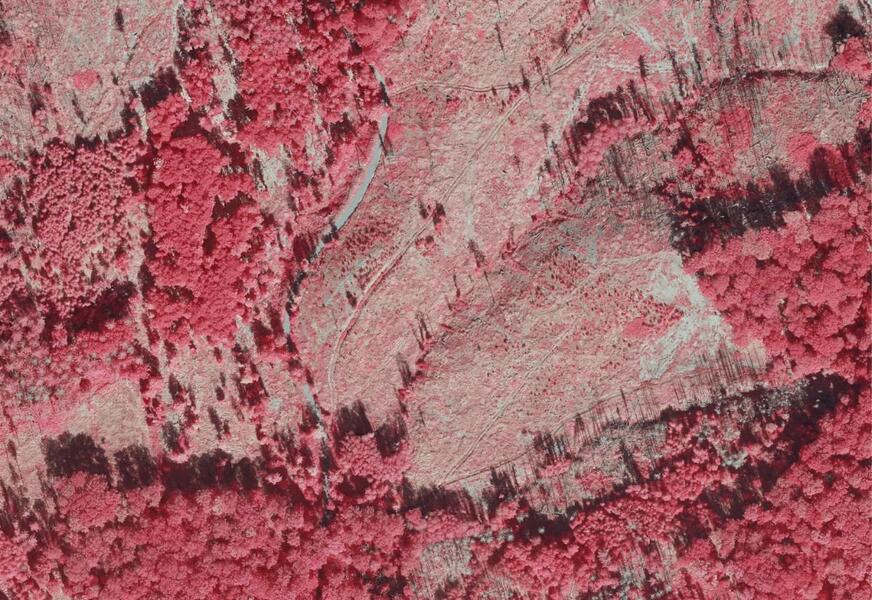
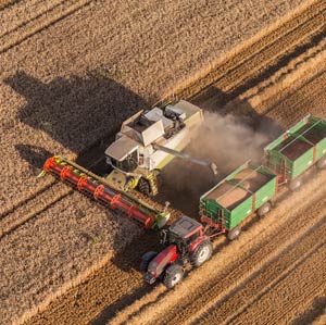
[23.07.2025] Reforestation in focus

EFTAS further develops monitoring procedures for Waldinfo.NRW … [read more]

umzug-news-en

[19.05.2025] New EFTAS location with a great view!

We have relocated: same address, one floor higher. … [read more]

ALOS-4 Photo: Advanced Land Observing Satellite-4 (ALOS-4) © JAXA

[05.05.2025] ALOS-4 takes off

New satellite data at EFTAS … [read more]

Morenat-Q

[02.04.2025] Quantum-based emission measurement for moorland conservation

EFTAS contributes application knowledge to the MoReNat-Q research project … [read more]

Sat-Image Berlin

Geodata

Everything has its place.
We produce and enhance geodata to meet your requirements, whether the data have been obtained by satellite, aircraft, unmanned aerial vehicles (UAVs) or ground truth.


Benin – geoinformation based on airborne and satellite imagery.

Ortho. . .what?

Benin – geoinformation based on airborne and satellite imagery.

ortho-what
LUCAS – a European wide mapping project.

Point by point detection.

LUCAS – a European wide mapping project.

point-by-point-detection
Programming

Map web portals & apps

Maps beyond Google and co.
We design web portals and apps according to your requirements, with map and routing functions, data management and updating, as well as integration of crowdsourcing.


An artificial neural network as an online application.

Web prototype "EFTAS CropAnalyzer" is on.

An artificial neural network as an online application.

eftas-cropanalyser-en
BUSH INFORMATION SYSTEM.

BUSH INFORMATION SYSTEM.

A modern decision support tool for analyzing savanna shrub encroachment.

bis-en
Tourism

Tourism:
experience nature!

Designing web portals and apps as mobile city and regional guides for your destination. Modular. Customised. Focused on target groups.


Modern nature tourism in the region Bergisches Land.

App to explore the river Wupper.

Modern nature tourism in the region Bergisches Land.

app-to-explore-the-river-wupper
Web portal & App for the nature tourism in the Rheinaue region.

Sustainable tourism.

Web portal & App for the nature tourism in the Rheinaue region.

sustainable-tourism
Energie & Mining

Energy and mining:
unlock new potential!

Integrating sustainability in resource management. Cutting-edge. Large-scale. Efficient.


Cost-efficient monitoring with AI and customized data.

Ground Movements.

Cost-efficient monitoring with AI and customized data.

gmm
Detecting landscape changes with remote sensing support.

i2MON - Mine Monitoring.

Detecting landscape changes with remote sensing support.

i2mon-paper-iahs
Agrar

Agriculture- & forestry:
predict yields!

Detection of field crop and crop status for your information and forecasting system. Precise. International. In compliance with administration and legislation.


Sampling inspection of European agricultural direct payments by means of remote sensing.

Trust is good but control is better!

Sampling inspection of European agricultural direct payments by means of remote sensing.

trust-is-good-but-control-is-better
A global agricultural monitoring network for the sustainable increase of food production.

Level-up.

A global agricultural monitoring network for the sustainable increase of food production.

level-up